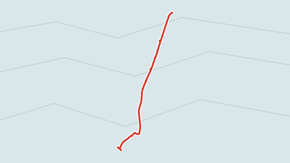
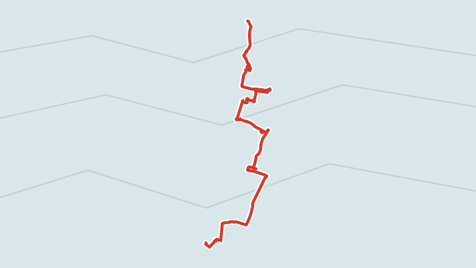
As I already wrote, I rode my 🚲 out of town a couple of times in the evening on a weekday, scaring the casuals in Turia. Once to the south, to Silla, another to the north, to Pu
çol. Spain has more than just the famous pilgrim route (El Camino de Santiago), which everyone constantly dreams of walking, and mentions as if there are no other hikes in the world.
Forays to Silla and Puçol
There are others. And ones that last thousands of kilometers and cross half the country, at that. I rode a piece of one of these on my bike on weekdays, even though this fragment didn't impress me much. Honestly, this whole idea that you have to absolutely ride or walk from start to finish, to cover the entire route under your own power, is pretty dumb. Personally, I'd rather ride a 🚂 for a few hours and then stomp around 🗻 with legendary views, than miserably wander among "fragrant" fields of 🍆🥔🥕🥒 interspersed with the Spanish version of kolkhozes. Not to mention how uncomfortable I am walking near busy highways, unavoidable on the approaches to a big city. This was a downside of my plan to live and ride around Valencia, which I knew about but didn't fully take into account. Nevertheless, I consider the plan a success: I took the bike out about five times. On my last Sunday in Valencia, a buddy and I first set out to support a runner friend at the local Valencian marathon Trinidad Alfonso. The tram wasn't running because of the event itself, so we were shamefully late, but what can you do.


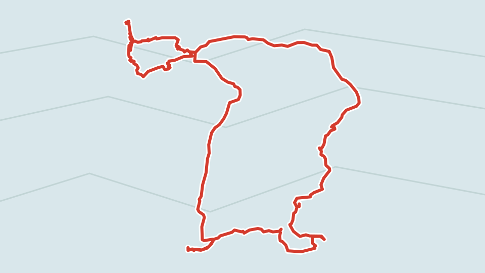
After all sorts of congratulations and hugs, we went to the train, and headed somewhere relatively close by to walk in the hills. "Relatively close by" (about 40 minutes) turned out to be Xativa ( Xativa ). There, in theory, everyone advises seeing the 🏰, but it was at the end of the route. So we never got there - arrived way too late. You should always start serious hikes or rides as early as possible, leaving by 9 at least, if not eight. Especially if sunset starts at six. Easier said than done, of course. Interestingly, I found the route on the website of some Dmitry, originally from Latvia, who lives in Valencia and leads hiking tours for 💰 around the area. Kind Dmitry shared some routes for free on his site. Plus he explained how to get there by bus. Unlike Switzerland, where hiking is a national hobby and an incredible number of places can be reached by train or bus, in Spain you will very, very often need a car. We, like poor relatives without one, rode on what we could, namely cercanias (commuter trains)


La Coca Negra
We arrived in Xativa, walked through the cute center, and started hiking up the mountain. That's how we got to the black cave ( Cova Negra ), which I accidentally called Coca Negra on my Garmin by a Freudian slip. I won't translate it, so Substack doesn't ban me. Alas, the cave was closed for archaeological research.
But on the way we came across an aqueduct, not a Roman one, but only a few centuries old, Gothic. It is call ed Les Arcadetes d’Alboi , also known as the " Aqueduct of the Dry Bridge Gorge". It runs along the Albaida river for ten kilometers and provided a constant water supply to the city of Xativa in the Middle Ages. Along the way we constantly saw mini-wells of unclear purpose. The internet tells us the following.

"On the way we find breathers. Local legend has it that they were born thanks to the mind of the daughter of the Muslim king of Xativa. These vertical structures were breathers that released water pressure so its accumulation wouldn't destroy the duct." In the modern sense, a breather is a device that draws air from the street into the house, heating and purifying it in the process. I think the automatic translator screwed up here — it actually meant not air ducts, but water conduits, so that the pipeline wouldn't burst from high pressure. To bleed off the excess.
I'm just selling it for what I bought it. We also saw the Aventador wall with a bunch of rock climbers, but along the way we climbed even higher than they were crawling. This was the hardest part of the route - sharply up the rocks. The heart rate always hits 140-150 on these sections. Good thing it's not 190, like some people get after Covid.

Soon the sun started setting rapidly, and it was decided to cut the route short. If we hadn't decided on that, there was a high chance of walking cross-country in the dark, which is never great. And so at first we tried to go almost straight through, but ravines and swamps formed on the way. Had I been alone, I definitely would have gotten into an adventure, but my more sensible friend held me back. Well, out of the frying pan and into the fire. We had to turn onto a mountain highway. A bit dangerous, walking with no shoulder, guardrails right there on the left and right, but at least it was only 800 meters.
After that it was only downhill, and quite soon we made it to Xativa. Interestingly, kids were playing (without much supervision) near the houses on the outskirts, and a fence was covered in mathematical formulas instead of profanity. Cultured people live in Xativa!

Taking our time, we got to the train station, where overall we successfully got on the train back, although we screwed around with the tickets a bit (it's destiny). We walked 20km with an elevation gain of 430 by the barometer - decent, but still a far cry from Switzerland. There we were constantly walking 800 meters up. But for this day Garmin gave me a badge - first for 30k steps. And then it was already close to 40, I went to the store in the evening - and got one for 40k too. Turns out I only have two of such maniacs in my Garmin friends.
Viva la senderismo!


Subscribe and get an arrow of love to the forehead!